Is there a more interesting way to get from Renmark to Yunta in S.A.?
Submitted: Wednesday, Jul 13, 2016 at 15:00
ThreadID:
132998
Views:
5198
Replies:
7
FollowUps:
14
This Thread has been Archived
<span class="highlight">Robin Miller</span>
Going up Arkaroola way soon from
Renmark and trying to come up with a better path than down the highway to
Burra and then up to
Yunta along Barrier hwy,
once past
Yunta it seems straight forward to Frome Downs and across.
However there seems no obvious way to cut across from Remark to
Yunta !
Reply By: Phil1234 - Wednesday, Jul 13, 2016 at 15:21
Wednesday, Jul 13, 2016 at 15:21
I have often wondered about this myself.
Mainly posting so that I can monitor this thread.
AnswerID:
602375
Follow Up By: Robin Miller - Wednesday, Jul 13, 2016 at 16:58
Wednesday, Jul 13, 2016 at 16:58
If we come up with a good answer, I'll send you a copy for only $10 Phil
FollowupID:
871944
Follow Up By: Phil1234 - Wednesday, Jul 13, 2016 at 18:50
Wednesday, Jul 13, 2016 at 18:50
Hi Robin
My old mate
FollowupID:
871949
Reply By: Member - Roachie - Wednesday, Jul 13, 2016 at 15:22
Wednesday, Jul 13, 2016 at 15:22
Robin, there are various options to go through Dangalli Conseration park but the (dirt) roads might be impassable at the moment due to so much rain.
The area is awash with tracks.....but I don't have much first hand knowledge to impart.
Several years ago I was one of a group of vehicles (
Murray Bridge 4WD Club) who went up through that way to get to
Menindee Lakes. We didn't go all the way to
Yunta, but I know there are heaps of tracks through that whole area.
Cheers,
Roachie
AnswerID:
602376
Follow Up By: Robin Miller - Wednesday, Jul 13, 2016 at 17:13
Wednesday, Jul 13, 2016 at 17:13
I tried to find info before posting Roachie , but seems hard to get any real pathway.
But as you say there are lots of minor lines on the maps but nothing direct.
I did find a good
free camping spot just east of
Renmark at top of Lindsay state
forrest a couple of weeks ago, I might
camp there again , fill up at
Renmark and just start driving !
FollowupID:
871945
Reply By: Member - John - Wednesday, Jul 13, 2016 at 15:28
Wednesday, Jul 13, 2016 at 15:28
Robin, if you leave
Renmark, head to
Morgan, before you get to
Morgan turn right on to Bungunnilia Rd, it turns into
Morgan Mail Rd, then left onto Koomooloo Rd, right onto Eastern Rd, then left onto Sturt Vale Rd, get to the highway, turn right towards
Yunta. Not sure what the roads are like and time frame it will take, never been on those roads. But it gets you off the bitumen. Good luck.
AnswerID:
602377
Follow Up By: Robin Miller - Wednesday, Jul 13, 2016 at 16:56
Wednesday, Jul 13, 2016 at 16:56
OK
John -trying to find what you said using EOTROPPO , eastern rd isn't marked but there are roads? from both Old Koomooloo to Sturt Vale - also you could continue up
Morgan mail rd then turn towards Sturt Vale.
While there are several minor rds marked even closer to
Renmark its hard to find what might be the normal way -might just mean more exploring, as doesn't seem to be any user
treks even.
FollowupID:
871943
Follow Up By: Peter_n_Margaret - Wednesday, Jul 13, 2016 at 17:35
Wednesday, Jul 13, 2016 at 17:35
This is a favourite route of ours....
Just E of
Morgan, Balah, Canegrass, Pine Valley, Lilydade, Manunda,
Yunta.
Interesting and diverse country.
Just south of
Lilydale there is Oratan
Rock which is a prominent ancient volcanic core. Many years ago we contacted
Lilydale in advance and they let us
camp near the base overnight. It is not far from the road.
The other fascinating bit of country out there is between
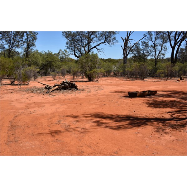
Yunta and Manna
Hill via Panaramatee and Oulnina Park. There is a "piece of the Flinders" in there that got lost from the rest.
EDIT.. Be prepared to spend half a day exploring the
ruins of
Waukaringa north of
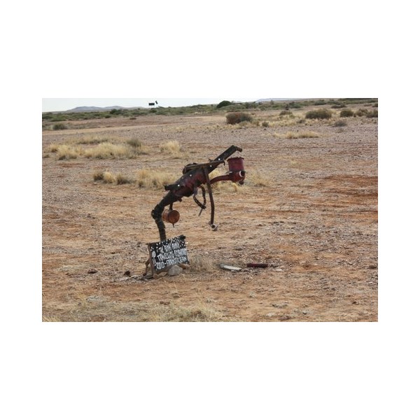
Yunta.
Cheers,
Peter
OKA196 motorhome
FollowupID:
871946
Follow Up By: Robin Miller - Thursday, Jul 14, 2016 at 12:39
Thursday, Jul 14, 2016 at 12:39
Thanks Guys.
Peter I could not find pine valley but got the other points.
I presume from Canegrass you continue up
Morgan mail rd then turn left thru to Sturtvale ?
After Manunda to get to
Yunta I presume you would turn right and go to Redgate
bore then Tiverten.
I'm using EoToppo - maybe there is a better map ?
FollowupID:
871986
Follow Up By: Peter_n_Margaret - Thursday, Jul 14, 2016 at 14:12
Thursday, Jul 14, 2016 at 14:12
HEMA to the rescue....hope it is readable at the scale...
Via Pine Valley or Old Koomooloo is much of a muchness I think.
Cheers,
Peter
OKA196 motorhome
FollowupID:
871987
Follow Up By: Robin Miller - Thursday, Jul 14, 2016 at 14:59
Thursday, Jul 14, 2016 at 14:59
Thanks Peter.
This is clearly a case of "Hema to the rescue" , and is what I needed.
It clearly shows the more important roads and even a path from near
Renmark to Pine Valley.
In contrast my EoToppo shows a confusing array of roads in which it is hard to come up with a clear path and as
well doesn't even have Pine Valley on it.
I have Hema desert stuff but it stops just north of
Lilydale.
Your map would have come from touring Aussie series which I will get to-morrow, thanks again.
FollowupID:
871988
Follow Up By: Member - wicket - Thursday, Jul 14, 2016 at 15:22
Thursday, Jul 14, 2016 at 15:22
Robin.
That's odd that your copy of
EOTopo does not show Pine Valley as it is clear on my copy , on the old
Morgan Mail Rd.
FollowupID:
871989
Follow Up By: Robin Miller - Thursday, Jul 14, 2016 at 16:51
Thursday, Jul 14, 2016 at 16:51
Could be different version Wicket ,my S.A. one is 2014.3
FollowupID:
871991
Follow Up By: ExplorOz Team - Michelle - Thursday, Jul 14, 2016 at 19:00
Thursday, Jul 14, 2016 at 19:00
For trip planning - use
EOTopo online -
EOTopo Online as you can zoom in further than on the 200K maps. Remember to click the full screen mode.
FollowupID:
871997
Reply By: Member - Allan L2 - Wednesday, Jul 13, 2016 at 17:29
Wednesday, Jul 13, 2016 at 17:29
Hi Robin,
Do you have to go via
Renmark? If not you may consider heading north on the Silver City H/way from
Mildura & turn westward approximately 25 km north of Coombah onto
Loch Lilly Rd then via
Loch Lilly, Oakdale, Lily dale & Tiverton. A mate went that way last July & found it very interesting. Not too sure on road conditions due to rain at the moment.
Cheers,
AnswerID:
602380
Follow Up By: Robin Miller - Wednesday, Jul 13, 2016 at 19:54
Wednesday, Jul 13, 2016 at 19:54
I don't actually Allan , so I will
check out your route , but not tonight as its freezing cold here . Thanks
FollowupID:
871951
Reply By: Member - John - Wednesday, Jul 13, 2016 at 17:41
Wednesday, Jul 13, 2016 at 17:41
Robin, I back tracked from
Yunta via google maps. I like the sound of the other way better though.......
AnswerID:
602381
Reply By: Member - Stephen L (Clare SA) - Wednesday, Jul 13, 2016 at 18:34
Wednesday, Jul 13, 2016 at 18:34
Hi Robin,
As you can see from the above replies, the short answer is a Yes.
The next question you must ask yourself, is whick track.
There are countless great roads that head north and can highly recommend Danggali as there is a lot to see there. From there you can crisscross your way
north over great station track, but you would not want to do them at the moment.
I have a good friend that is managing Sturt Vale, so if you need to know the exact conditions at the moment, I can give you Simon's phone number. 08 8892 8655
Have fun planning.
Cheers
Stephen
AnswerID:
602385
Follow Up By: Robin Miller - Wednesday, Jul 13, 2016 at 20:00
Wednesday, Jul 13, 2016 at 20:00
Thanks Stephen , I looked over your Danggali user trek , but wasn't sure if theres a way out to end up near Frome downs , I might need better maps than EoTroppo, but as per another reply its so cold here at moment , so I'll end research for tonight , and thanks for number , not leaving for 3 weeks so things may change.
FollowupID:
871952
Follow Up By: Member - Stephen L (Clare SA) - Wednesday, Jul 13, 2016 at 20:12
Wednesday, Jul 13, 2016 at 20:12
Just another tip Robin, if you intend to
camp at Danggali, go for
campsite no 2.
It is a bigger area that some of the other sites and big enough to fit a number of vehicles and and nice and flat with a large fire ring in the middle.
Site 2
Heading north from Danggali, after looking around
Morgan Vale, you can either turn left and head east on the
Morgan Mail Run, or head north and follow your nose and more great track to
Yunta.
Have a great trip and by then the roads should be ok.
Cheers
Stephen
FollowupID:
871953
Reply By: Bob Y. - Qld - Thursday, Jul 14, 2016 at 17:29
Thursday, Jul 14, 2016 at 17:29
The memory might be dimming slightly, Robin, but I recall a blog of this area, done by Member Andrew & Jen. Maybe a year or two ago?
Andrew had some good photos, looked very interesting country, and a description of the tracks they travelled. Might be worth a look for it?
Bob
AnswerID:
602412